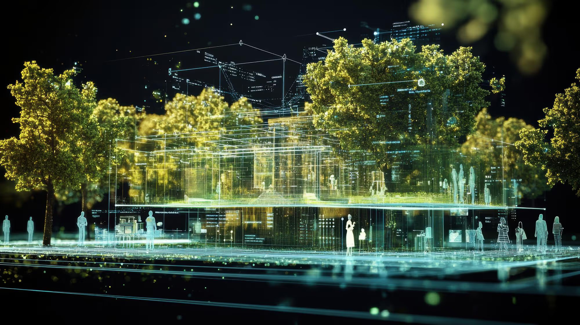
We offer drone-powered solutions for aerial mapping, land inspection, structural analysis, and environmental monitoring—augmented with AI-powered post-processing tools.
Our aerial intelligence solutions cover
LiDAR and photogrammetry-based terrain modeling and volumetric analysis
Thermal inspections for infrastructure, solar farms, and forests
Orthomosaic mapping with geo-referenced overlays
AI-based analytics for crack detection, vegetation encroachment, and structural anomaly detection
Integration with GIS platforms and digital twins for spatial insights


